

LIVE SNOW TRACKER: When and where is it forecast to snow in Ireland during Storm Eowyn

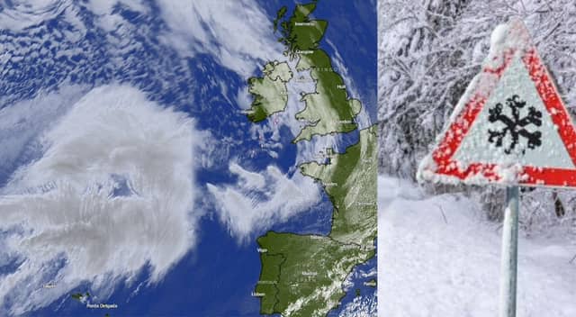

LIVE SNOW TRACKER: When and where is it forecast to snow in Ireland during Storm Eowyn
Ireland is bracing for what could be a record breaking Storm Eowyn with Met Eireann having issued a total of eight Status Red Weather Warnings. You can see full details of all the Status Red Warnings by clicking here
However mixed in with Storm Eowyn, Met Eireann is forecasting falls of snow in Connaught and Ulster with more forecast at times over the weekend.
According to Met Eireann, Storm Eowyn will bring heavy, persistent and widespread rain, turning to sleet and snow for a time in Connacht and Ulster tonight.
There will be a cold and frosty start on Saturday after Storm Eowyn with sunny spells and isolated showers. Showers will become widespread and frequent during the afternoon, some of sleet and snow. Highest temperatures of 4 to 7 degrees in moderate to fresh southwest winds
While the forecast can change in the coming days, you can keep up to date with where snow is expected to fall on the tracker above from windy.com
Press play on the bottom corner of the video above to see the latest expected snowfall for Ireland
You can track the path of Storm Eowyn by tapping here